
Crown of the Ohio
Historic River Atlas — River Miles 23–53
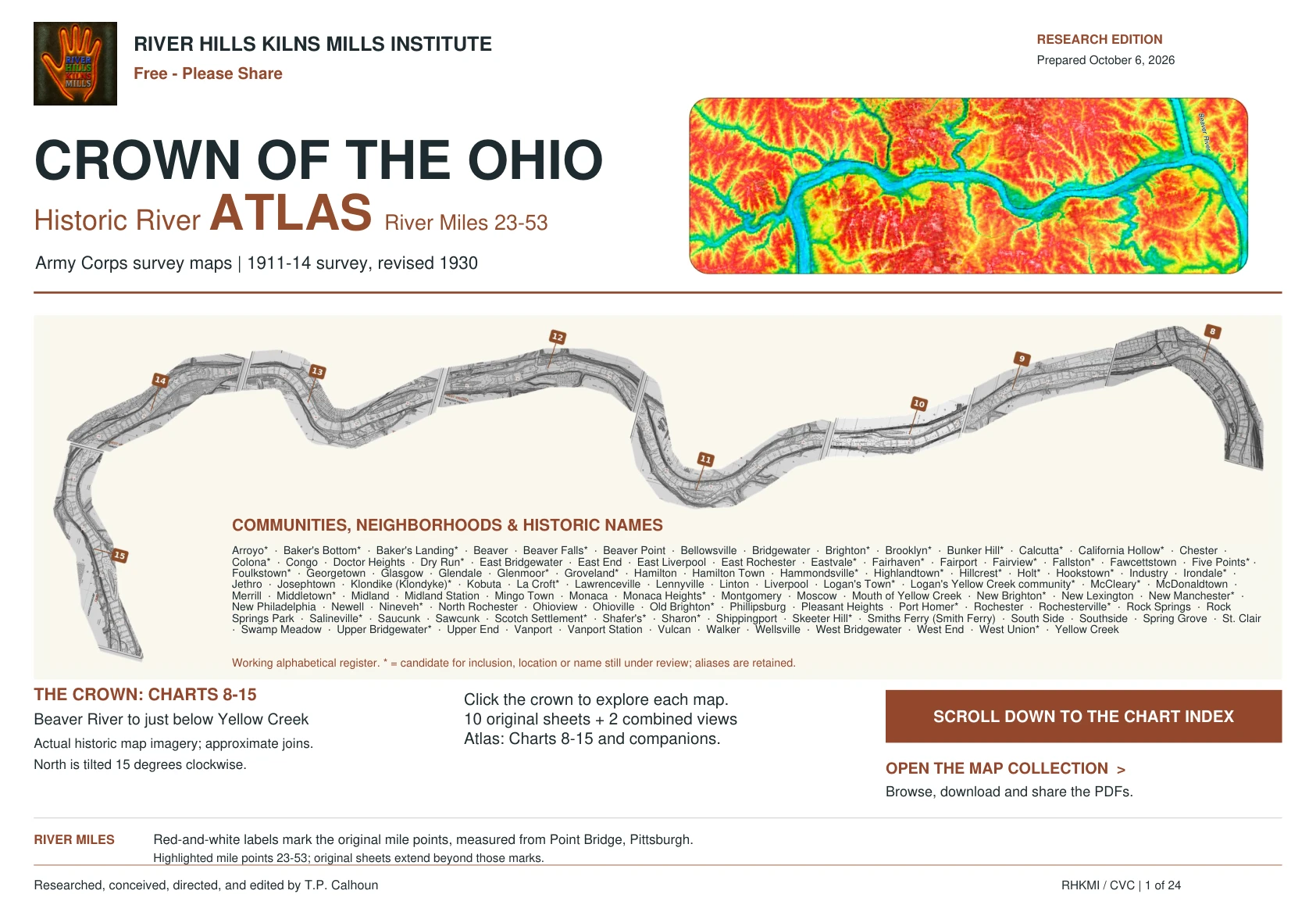
The complete river atlas
Explore the Ohio River corridor from Beaver and Rochester to Yellow Creek through Army Corps surveys of 1911–14, revised 1930.
This final 24-page edition includes Charts 8–15, Beaver River and Yellow Creek tributary sheets, junction overviews, and reading guides. Use the chart index and links within the PDF to move through the atlas.
Read the atlas
How to cite this atlas
Calhoun, T.P., ed. Crown of the Ohio: Historic River Atlas — River Miles 23–53. River Hills Kilns Mills Institute, October 6, 2026. 24 pp. https://riverhillskilnsmills.com/atlas
For a single chart, add its number, title, and atlas page range. For example: Calhoun, T.P., ed. “Chart 13: East Liverpool, Chester, Newell.” In Crown of the Ohio: Historic River Atlas — River Miles 23–53, pp. 16–17. River Hills Kilns Mills Institute, October 6, 2026.
Every map and reading-guide page identifies this atlas and its original atlas page number. The historical sheets are Army Corps surveys of 1911–14, revised 1930; the compilation and editorial material are by T.P. Calhoun. When citing an original sheet, also record its printed source details. Add an access date if your citation style requires one.
Download citation guide PDF